 AlbertaSell
Bailey Hill
Includes Decalta Road SE and Southwood Road SE on the municipal map.
Calgary region · Seller guidance
The Town’s neighbourhood map covers only part of Diamond Valley. Use the mapped guide when it matches the parcel. For another address, including one that still appears under a former town name, use the municipal guide below.
Browse area guides ↓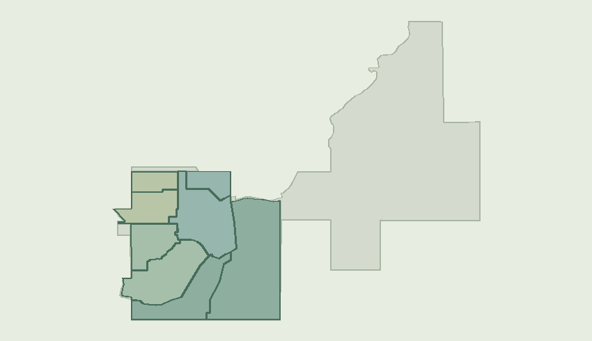
Includes Decalta Road SE and Southwood Road SE on the municipal map.
Includes Okalta Road SW and Calkins Place SE on the municipal map.
Includes Edward Avenue NW and Country Meadows Close NW on the municipal map.
Includes Sunset Boulevard SE and Valley Trail NE on the municipal map.
Includes Royalite Way SE and Imperial Drive SE on the municipal map.
Includes Robert Street SW and McLeod Crescent SW on the municipal map.
Includes Windsor Avenue NW and Edgar Avenue NW on the municipal map.
Includes Seclusion Valley Drive NE and Blakeman Pt NE on the municipal map.
Provide the current civic address and legal plan. If earlier documents refer to Turner Valley or Black Diamond, include that reference so the same parcel can be traced.
Request a home valuationDiscuss a commercial saleOffer space for leaseDiscuss a land parcel